Multi-Domain Battlespace Solutions Unveiled
Maxar Intelligence and Swedish defense company Saab have entered into a groundbreaking partnership aimed at developing next-generation multi-domain battlespace solutions. This collaboration will prioritize space-based capabilities for drones, marking a significant step forward in military technology.
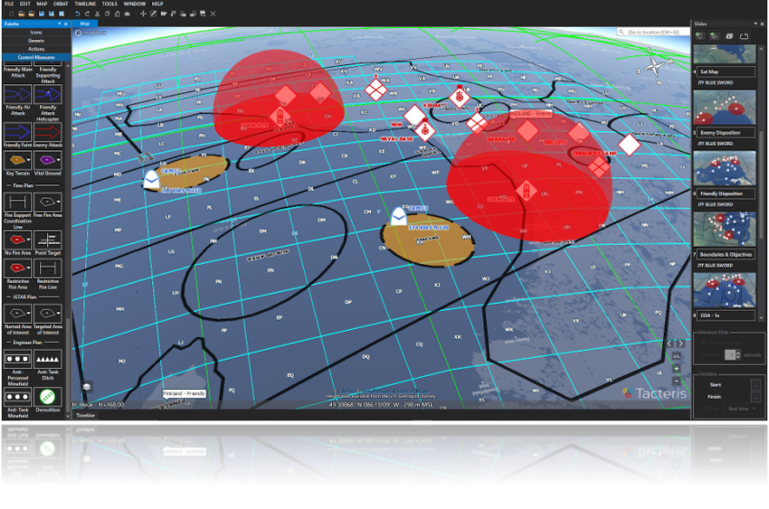
Through this agreement, Maxar will integrate its advanced satellite imagery and detailed 3D terrain data directly into Saab’s defense systems. This enhancement is specifically designed to enable autonomous systems to function more effectively in contested environments, providing them with accurate navigation and targeting data without dependence on traditional GPS.
Advancing Strategic Defense Capabilities in Europe
Görgen Johansson, head of Saab’s Dynamics division, emphasized the importance of this cooperation, stating, “Our collaboration with Maxar represents a significant leap forward in our commitment to utilize information from the Space domain, thereby enhancing the strategic defense capabilities of Europe and beyond.” This perspective highlights the broader implications of the partnership beyond just technology.
In addition to integrating terrain data, Saab will also gain access to Maxar’s comprehensive suite of geospatial intelligence tools and mission products, including the innovative Raptor platform. This access is expected to further enhance Saab’s operational effectiveness and strategic planning.
Setting New Standards for Military Operations
Johansson further stated, “By integrating Maxar’s high-end geospatial insights and satellite capabilities with our advanced defense systems, we are establishing new benchmarks for the effectiveness and reliability of military operations across multiple domains.” His comments underscore the ambitious goals of this initiative in transforming military logistics and operational strategies.
The partnership builds upon Maxar’s prior collaboration with Saab, marked by recent testing of the Raptor software. This sophisticated software suite allows drones to navigate autonomously, minimizing the need for GPS.
Raptor Software: Innovating Drone Navigation
The Raptor system utilizes the drone’s onboard camera alongside Maxar’s extensive 3D terrain data, which spans over 90 million square kilometers (34.7 million square miles), to determine accurate ground coordinates in real-time. This innovative approach not only enhances navigation but also improves operational safety and effectiveness for military drones.
Recent field tests of the Raptor software have shown promising results, with Maxar reporting that the system can produce ground coordinates with an impressive accuracy of better than 2 meters (6.5 feet). This level of precision is critical in military operations where the margin for error is minimal.